EN
EN  ID
ID 


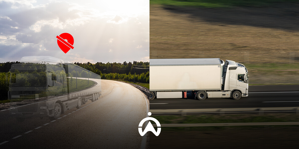
Vehicle tracking devices use the Global Navigation Satellite System (GNSS) to determine an approximate location. One type of GNSS widely used in Indonesia is the Global Positioning System (GPS), developed by the United States. Other types of GNSS include GLONASS from Russia, BeiDou from China, and Galileo from the European Union.
Although commonly known as GPS trackers, vehicle tracking devices utilise not only GPS but also other satellites to provide more accurate location estimates. This accuracy indicates how close the satellite measurements are to the actual position.
What are the main factors that affect the accuracy of GPS vehicle tracking? Here's an explanation
1. Number and Position of Satellites
To provide more accurate location estimates, vehicle tracking devices require a minimum of four satellites, consisting of GNSS and its augmented satellites. This augmented satellite system is necessary to improve navigation system performance, such as accuracy, reliability, and availability. The more satellites used to calculate position, the better the accuracy.
In addition to the number of global navigation satellites and their augmentation, the position or distribution of the satellites providing positioning also has a significant impact on accuracy. Generally, a set of satellites spread over a wider area of the sky will provide more accurate location readings (the greater the angle between the receiver's position and the satellites used, the more accurate).

2. Obstacles to Signal Propagation
Signals from satellites to GPS receiversmust travel long distances. The propagation space of the signal, both in the atmosphere and on Earth, greatly affects signal strength and positioning accuracy. The ionosphere, the fourth layer of the Earth’s atmosphere, slows down GPS signal speed due to the ionisation of particles. The troposphere, the lowest layer of the Earth’s atmosphere, can sometimes cause radio signal reflections.
Once the signal reaches Earth, there are several obstacles that can block or reflect GPS signals, resulting in positioning errors or delays. These include tall buildings, tunnels, flyovers, steel or concrete roofs, trees, land formations (mountains, cliffs, etc.), heavily tinted window film (a maximum of 60% tint is recommended), and even the human body. The placement of the device inside the vehicle also affects signal propagation, so it should be positioned with minimal obstructions.
The tracking device from Cartrack itself has an accuracy range of 2.5–5 metres, supported by two types of GNSS and four types of Satellite-Based Augmentation Systems (SBAS). This allows users to obtain fairly accurate location information. To address signal propagation obstacles, Cartrack can add an external antenna. This signal booster is typically required for vehicles operating in areas with weak signal coverage, such as vehicles in palm oil plantations and speedboats. Click here to begin your vehicle tracking experience with Cartrack!