 South Africa
 Botswana
 Kenya
 Malawi
 Mozambique
 Nigeria
 Swaziland
 Tanzania
 Zimbabwe
 Namibia
 Hong Kong
 Singapore
 Malaysia
 Philippines
 Thailand
 New Zealand
 Vietnam
 Poland
 Portugal
 Spain
 United Arab Emirates

 ID

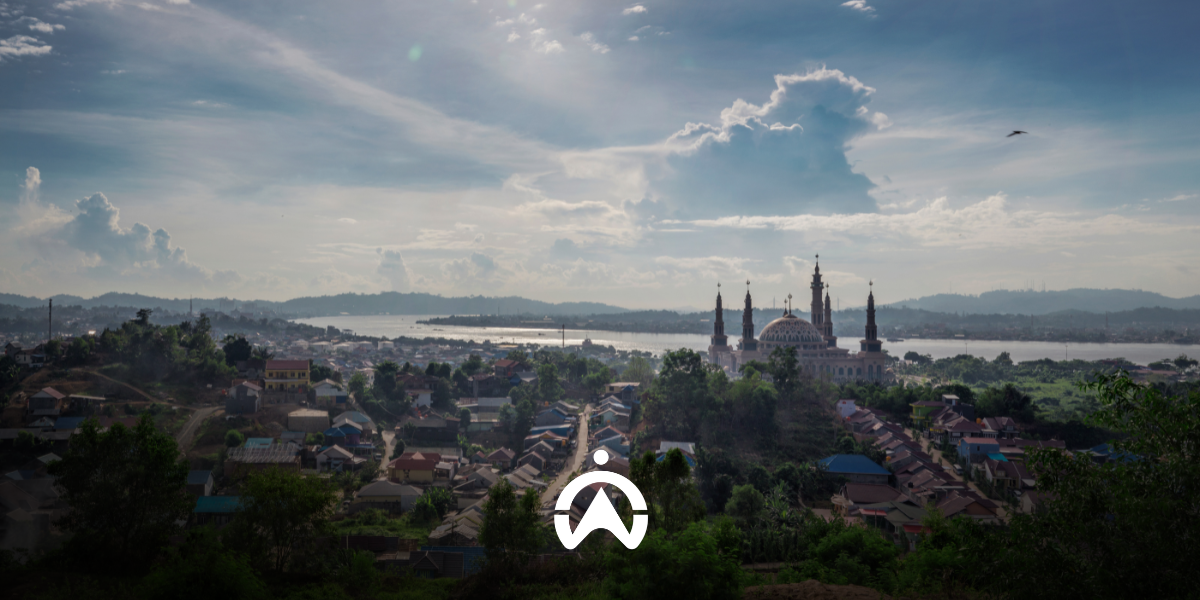
Fleet operations in Samarinda run inside crowded space. Mining concessions sit within city limits, public roads are shared with residents, and cargo moves from road units onto barges at jetties along the Mahakam River. Find out how GPS tracking helps hauling contractors, mining operators, and logistics companies in Samarinda keep control over where their units are and what happens to the load.
Why GPS Tracking Matters for Businesses in Samarinda?
1. Mining sites and public roads occupying the same ground
Unlike most Indonesian cities, mining activity in Samarinda takes place inside the city boundary. Several permitted mining sites along the Samarinda to Bontang arterial road sit roughly 300 metres from the road body, and some are close to public facilities.
This puts fleet movement in space that is shared with residents. East Kalimantan Regional Regulation No. 10 of 2012 does allow hauling routes to cross public roads, but companies must hold the relevant permit and observe the hours attached to it. Without movement records, a company has little to show that its units moved within the terms of that permit.
2. Cargo changing mode on the Mahakam River
The Mahakam River is the main distribution artery for mining output in East Kalimantan. Material is carried by road units to a stockpile or jetty, then transferred onto barges with capacity in the thousands of tonnes for the run downriver to the estuary.
A chain like this creates handover points that are not consistently observed. Volume discrepancies, loading delays, and disputes with the receiving party most often begin where cargo changes mode, particularly when the record of time and place rests on verbal reporting.
3. Container traffic that keeps climbing
Palaran Container Port is the logistics gateway for Samarinda and the upper Mahakam region toward Surabaya and Jakarta, with capacity of around 250,000 TEUs per year. Its status as a national vital object and its role supporting the new capital, Nusantara, continue to push freight traffic toward the port.
For distribution fleet managers, higher throughput means longer queues and schedules that are harder to commit to without live vehicle position data.
What GPS Tracking Gives Fleets in Samarinda
| Capability | What it means for a Samarinda fleet |
| Real-time location tracking via web and mobile app | Unit position is visible across the full route from concession to stockpile or jetty |
| Geofencing for work zones and restricted zones | Permitted crossing routes can be mapped, with alerts raised when a unit leaves them. |
| Vehicle trip history | Time and location of every movement is stored as evidence of compliance with the permit held |
| Engine hours monitoring | Actual working hours of heavy equipment are separated from time the engine is merely running. |
| Cargo door sensor with location history | Handover points are logged, including when and where cargo was opened |
| Driver and operator identification | The person accountable for each unit during a given period can be traced |
| Security alerts and scheduled automatic reports | Route deviations and delays surface without waiting for a manual recap |
| 24-hour technical and customer support | Device issues on units working across regencies do not hold up operations for long |
GPS Tracker Installation in Samarinda by Cartrack
Cartrack provides GPS tracking devices integrated into a Fleet Management System used by companies across mining, construction, and logistics. Alongside the capabilities above, the platform covers starter monitoring for engine on and off times, harsh driving detection, and dashboard access through both web and mobile app.
For fleets running heavy equipment, an Engine Hours Report records total working hours, Machine Operating Hours Report the time and location where each trip began and ended, stop duration, and the geofence in which the unit stopped.
Additional features can be matched to how your fleet actually operates.
| Feature | Function |
| Cargo Door Sensor | Monitor cargo door opening and closing activity, along with the location and time |
| Fuel Monitoring | Monitor fuel consumption and preventing fraud and theft |
| Sensor Power Take-Off | Monitoring the actual usage of heavy equipment |
| Driver Identification | Identification of operators via tags, codes, or special cards |
| Maintenance | Scheduling routine maintenance and reporting breakdowns to minimise downtime |
| Delivery | Scheduling, task assignment, and shipment tracking |
| AI and Non-AI Camera | Visual monitoring of driving behaviour and reduction of blind spots |
| Panic Button | Emergency notification from the work site to the fleet manager |
Cartrack Service Coverage in Samarinda
The Cartrack team provides device installation and maintenance services in Samarinda and its surrounding areas, including Kutai Kartanegara and Tenggarong. Installation is carried out at your fleet’s location, eliminating the need to transport vehicles elsewhere. For fleets distributed across concessions, stockpiles, and docks, the installation can be scheduled in phases to ensure that not all units cease operations at the same time.
How to Subscribe to GPS Tracking in Samarinda
Cartrack GPS trackers are available on a subscription basis, tailored to fleet size and selected additional features. Each package includes:
- Equipment and installation at no additional cost
- Monthly internet quota
- Software usage training by the Cartrack team
If load discrepancies at delivery points, compliance with crossing lanes, or heavy equipment operating hours are already routine issues, monitoring closes the gap with data. Complete the form on this page or contact us via WhatsApp so our team can put together an offer tailored to your fleet's operational needs in Samarinda.